


arrow_upward
[PAZ Ciencia] Geomorphological characterization, remote sensing monitoring, and modeling of a slow‑moving landslide in Alcoy (Southern Spain)
- 10/03/23 11:59
- María José González Bonilla
In this post we present the results of the work performed in the framework of the Scientific Exploitation of PAZ: Project AO-001–025, PI Roberto Tomás, published in the paper "Geomorphological characterization, remote sensing monitoring, and modeling of a slow‑moving landslide in Alcoy (Southern Spain)".
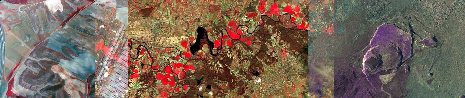
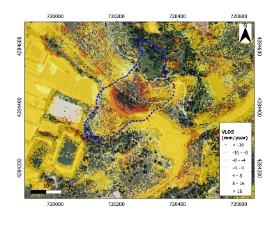
In the paper, an active landslide located to the southeast of the urban area of Alcoy (Alicante, Spain) is analysed. This landslide affects the N-340 road, as well as an area in which some industrial buildings dated from the fifteenth century and catalogued as Places of Cultural Interest are placed.
This region is characterised by the existence of a steep relief composed of materials from the Miocene to the present, on which many gravitational movements are developed. The displacements have been analysed using high-resolution spotlight mode SAR images captured by the Spanish SAR satellite PAZ (which operates at X-band), which were processed by advanced differential SAR Interferometry (A-DInSAR).
The behaviour of the instability has been determined using InSARderived time series displacement maps. Additionally, the study has been completed with a detailed geomorphological mapping at 1:2000 scale and an analysis of structural damage carried out in situ. The landslide was modelled in 3D, from a deterministic and probabilistic point of view, confirming the global instability of the area and the relationship of the landslide with rainfall and the construction of a new road.
The integration of all this information obtained and its subsequent analysis has made possible to precisely define the extension of the instability, its kinematics, and to identify the main triggering factors. This information will be crucial for the proper management of this landslide by the local authorities.